
Trace a Hempstead Street Directory Record
A street-by-street search in the Town of Hempstead works best as a record trail, not as a claim about everyone at an address. Start with the parcel, then compare the assessment detail with the recorded deed. The assessment screen can show an owner of record, a property address, a mailing address, tax and district context, and a map link. A recorded deed is the stronger source for a transfer of title. The mailing address may be a place for tax correspondence, not a residence. Likewise, the property address identifies land, not every person present there.
- Enter the house number and normalized street in the Nassau Land Records Viewer, then save the parcel or SBL, situs address, roll year, and map link.
- Open the matching parcel in the Nassau GIS map viewer. Click individual parcels along the segment instead of guessing from a map label.
- Use the parcel owner or legal description to search the Nassau County Clerk land-record index for the acquisition deed and its grantor, grantee, recording date, and document number.
- Use the New York voter lookup only for an identity-specific registration check when the required name, date of birth, county, and address details are already known.
- For an older address, ask a library about an address or criss-cross directory and compare the printed year with deeds and maps. The historical shelf is treated in more detail in the Hempstead city directory collections.
Each stop answers a different question. That distinction helps prevent an owner name, a tax mailing address, or a historical directory entry from being treated as current proof of residence.
Hempstead Address Search Fields
The LRV is the practical start for a current Hempstead address search. It accepts house number, street, Town, ZIP, and Section, Block, Lot information. Its instructions say to omit directionals and suffixes from the street name. That small formatting step matters when an ordinary address search returns nothing. AROW also accepts address and SBL searches, and its address form exposes ZIP as a required field.
| LRV field | How it helps a street search |
|---|---|
| House number | Pairs a number with the normalized street name. |
| Name of street | Search without directional prefixes or suffixes when the viewer instructs it. |
| Town and ZIP | Narrows similar address forms within Nassau County. |
| Section, Block, Lot | Provides the parcel key when an address form has changed. |
| Roll year and map link | Connects the displayed assessment record to its map context. |
The LRV address-search screen is shown below. Record the returned identifier before moving to another portal, because the Clerk and assessment systems use different SBL placeholders and the same parcel identifier needs reconciliation.
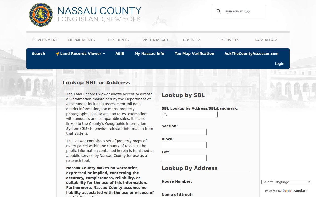
That identifier is the bridge from an address-shaped search to the legal parcel record. A street name alone is rarely a durable historical key.
Note: If the LRV does not resolve an address, retain the written street form and check the tax map or assessment counter before assuming the parcel is absent.
Browse Hempstead Streets in GIS
GIS is useful for walking a block without treating a screen capture as an ownership list. Zoom to the street, select one parcel polygon at a time, and note PARCEL_ADDRESS, PARID, and ROLL_YEAR. Then open the related LRV detail. The county parcel layer also exposes parcel geometry, PARCEL, PARCELKEY, and PARID fields, with query and pagination support. A public search should still follow the viewer’s terms and use the official detail record for each parcel.
The Nassau GIS parcel viewer supplies aerial imagery, FEMA flood information, historic Nassau County layers from 1926 and 1950, several New York State map years, and area or distance tools. Those layers help explain why a street record may carry different village, district, or postal labels. A map layer does not identify an occupant by itself.
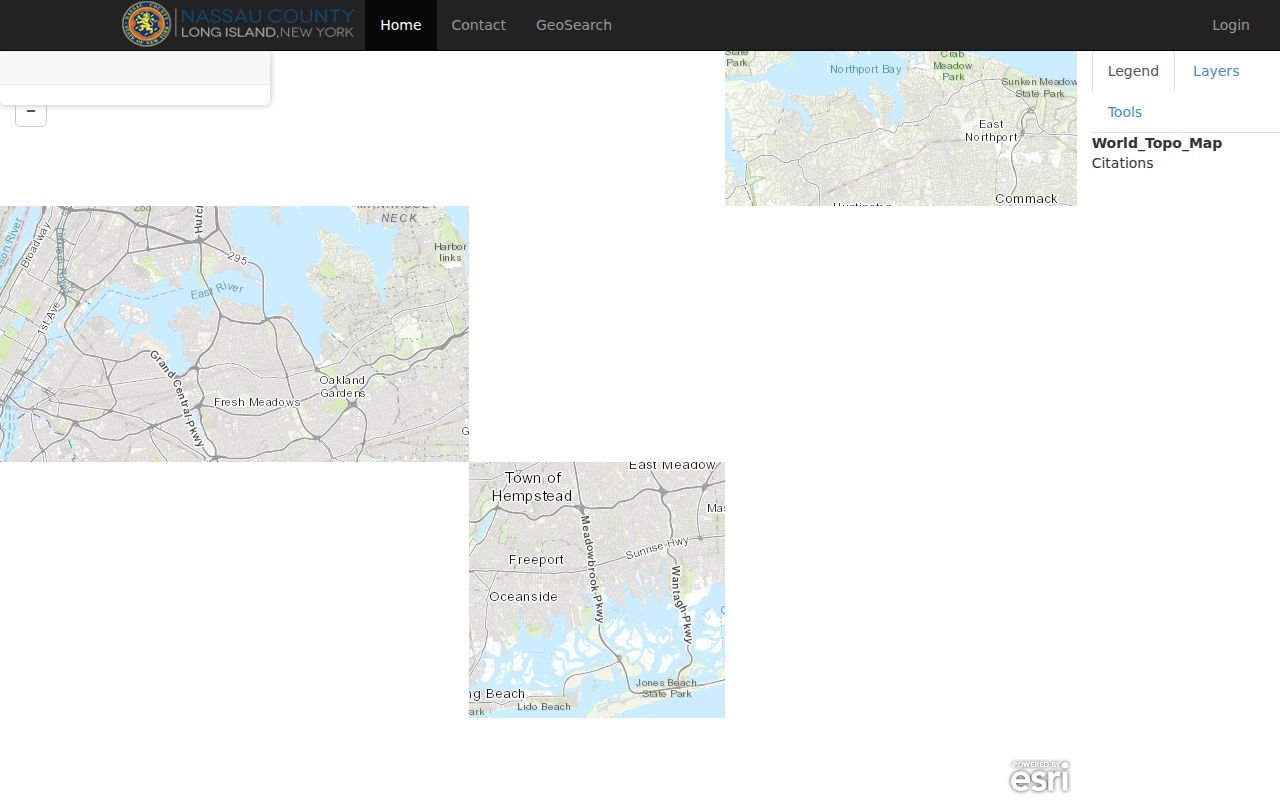
Use the viewer to orient the parcel trail, then confirm boundaries through the tax map or deed. A measured distance on screen is not a legal boundary decision.
Hempstead Address Record Chain
Several address-keyed records can be compared along the same Hempstead street, but each has a narrow purpose. The assessment roll and tax map establish parcel context. GIS provides geometry and historic layers. Deeds provide the recorded transfer trail. Permits and hearing records can date a project or decision at an address. Historical directories and census material can add dated household clues. No single layer supplies every answer.
| Street record | Custodian | Address evidence | Access channel |
|---|---|---|---|
| Assessment roll and tax map | Nassau Assessment | Owner context, SBL, property and mailing addresses, districts, taxes, photos | LRV or AROW online; paper tax maps at the counter, 9:00 to 4:30 |
| GIS parcel | Nassau GIS | Parcel polygon, address IDs, roll year, map layers | Interactive viewer and parcel-layer service |
| Deed and mortgage index | Nassau County Clerk | Grantor, grantee, dates, legal description, SBL, document number | US Land Records, historic portal, or Clerk counter |
| Permit or inspection | Town Building Department | Work description, applicant or owner, status, and inspection dates | Online Permit Center; older material through the department or FOIL |
| Voter registration | New York State Board of Elections | Individual registration and poll-site status under supplied identity | Identity-specific online check; voter-file request has statutory limits |
The chain is strongest when the parcel key and legal description agree across sources. A street label helps locate the records, while the parcel and legal description preserve continuity when labels differ.
Situs and Hempstead Street Records
Address terms can look interchangeable until two records disagree. In Nassau research, they are not. Keep the exact wording from the record and compare it with the parcel identifier. This matters in a large town that includes many villages and hamlets, where postal, municipal, and assessment labels can all appear in the same search.
- Parcel
- A defined piece of land in the assessment and map system, commonly tracked with an SBL or related parcel identifier.
- Situs address
- The location of the land itself. It does not identify every person who may be present there.
- Mailing address
- The address used for tax correspondence. It can be different from the parcel location.
- Plat
- A recorded map or subdivision plan that helps confirm a lot’s identity.
- Criss-cross directory
- An older directory arranged by address or street, often used beside an alphabetical volume.
For a prior street form, preserve cross streets, nearby landmarks, village or hamlet name, ZIP, and the lot or legal description. The official research did not establish a Town-wide renumbering year. Verify an apparent renumbering or renamed street with Town Engineering, a village clerk, historic GIS layers, Sanborn material, or old directories.
Follow a Hempstead Deed Trail
Once the current parcel is identified, the deed chain supplies the recorded ownership trail behind an address result. In the Clerk index, a grantor is the party transferring an interest and a grantee is the party receiving it. Search the current owner as grantee, find the acquisition document, and save its legal-description clues. The prior seller becomes the next grantee search. Estates, trusts, corporations, merged lots, and spelling variants can create branches, so keep the same parcel or legal description in view.
The Nassau deed-index destination is the online starting point for current recorded-document research. Its record trail can include party role, document type, instrument date, recording date, document number or book and page, legal description, and consideration when shown.
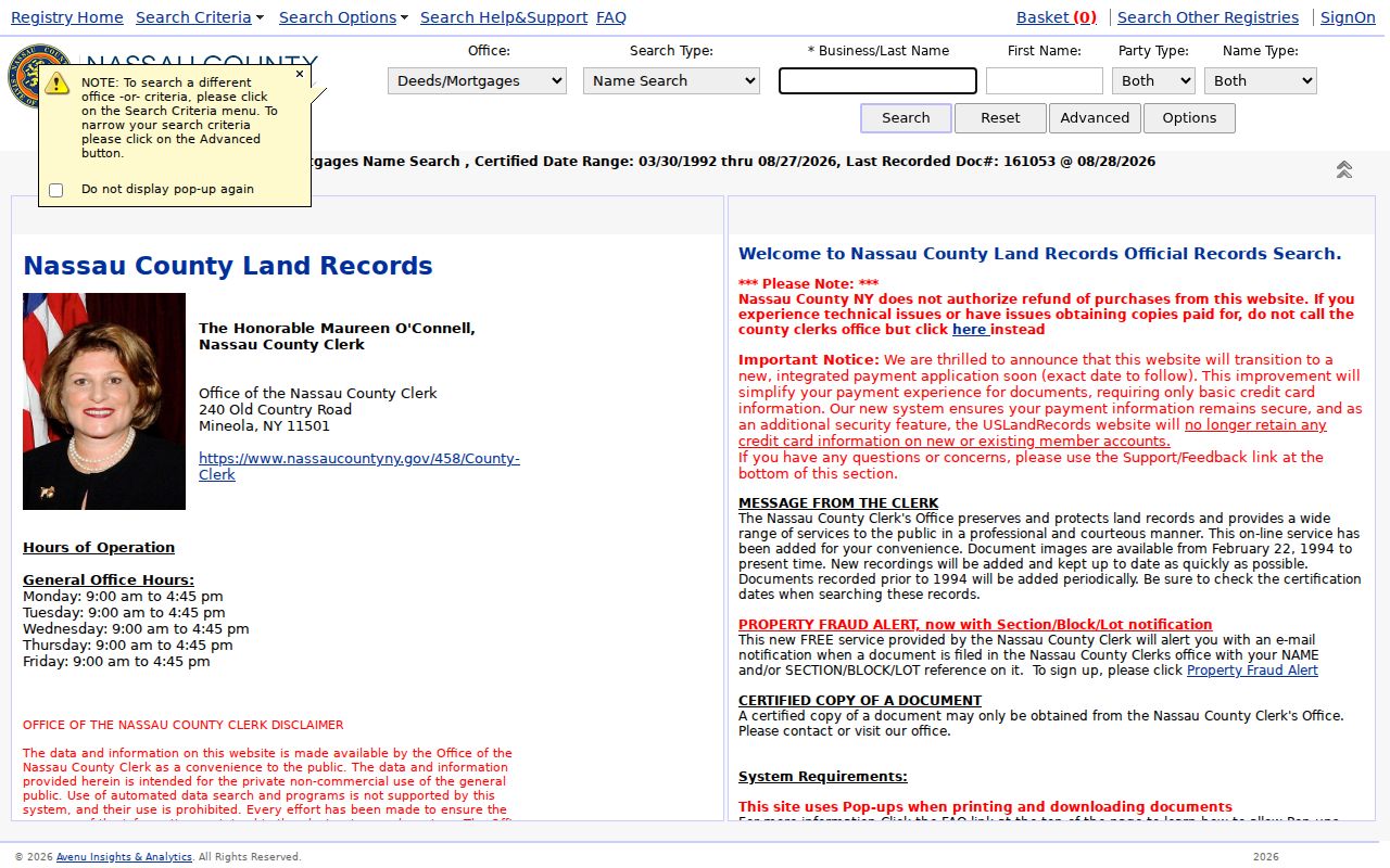
For older material, the historic official-record portal expressly covers 1840 through 1982. When the needed image is not online, use the Clerk counter, microfilm or deed books, or a title professional. The county did not publish one image cutover for every series.
Hempstead Permit Dates by Address
A permit record can add a date and a work description to the parcel trail. The Town Online Permit Center supports applications, permits, inspections, status, messages, and printing. Older records may require contact with the department or a request through the county or Town route. Compare the applicant or owner field with the deed and assessment dates instead of assuming it identifies a current resident.
The permit portal shown below is a useful address-keyed source when a change to a structure helps place the record in time. For coastal parcels, the Town moved structures-in-waterways permits, including bulkheads, to OpenGov on January 24, 2025. That workflow calls for material such as a survey, deed, recent tax bill, drawings, photographs, owner affidavit, and NYSDEC approval.
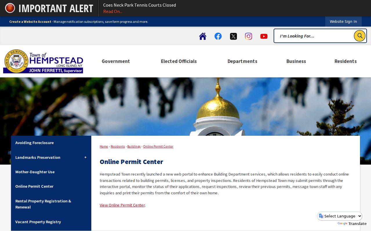
The waterways permit notice describes review, approval, invoice, payment, permit, posting, completion photos, and online closeout. A dated permit is useful context, not a substitute for a recorded title document.
Hempstead Street Geography
The Town of Hempstead’s size explains many apparently conflicting street results. The official Town map describes about 142 square miles, 34 unincorporated areas, 22 incorporated villages, and roughly 2,500 miles of roads. A parcel can be in a village, use a hamlet or post-office name, and still appear in county assessment and deed systems. Road responsibility and district labels also vary along the map.
Use the Town map with the county parcel tools when a street sits near a village or Town line. The Town is not a postal city. A mailing label should be checked against the parcel map and legal description, especially where a road jurisdiction or ZIP label crosses a civil boundary.
Note: Historic 1926 and 1950 GIS layers can help compare an older street setting, but they do not prove a person’s connection to an address.
Hempstead Street Records at Room B-1
Not every street record is a complete online search. Nassau’s County Clerk FAQ says owner information may be searched online or at Room B-1, but staff do not provide it by phone or email. Bring a printed parcel or SBL, the street address, a name variation if available, and a date range. This is the most direct fallback when a deed-index result needs a counter check.
The Nassau e-Services page is the county entry point for FOIL requests. FOIL under Public Officers Law Article 6 can be a route for non-confidential municipal material, subject to exemptions and the office’s own custody rules. A request should identify the record, address, approximate date, and preferred format. It does not override protected information or sealed files.
The following Nassau e-Services record-request entry point shows the FOIL access channel. Use it after identifying the office likely to hold the missing paper or older file.
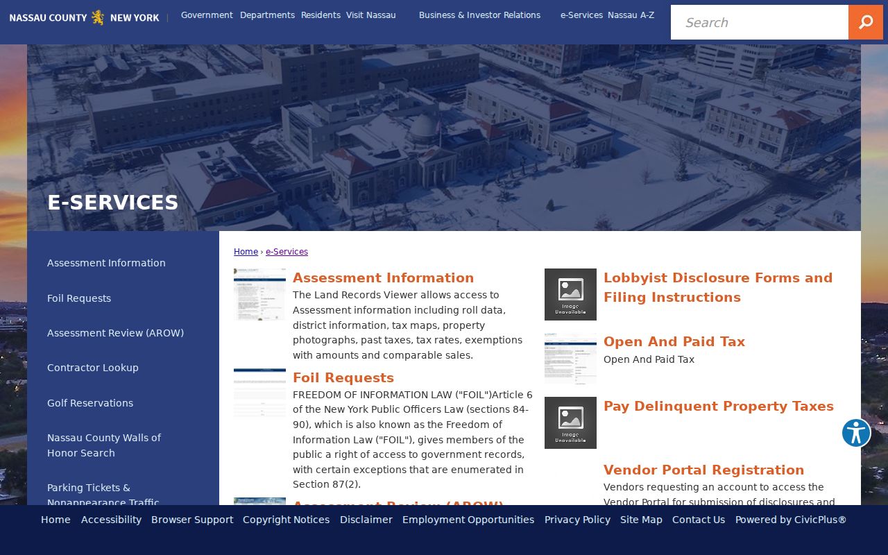
A focused request is easier for a records office to process than a request for a whole street’s people. Public access has limits that remain important after an address is found.
Limits of Hempstead Address Records
A property roll does not provide a complete list of people at an address. Other household members are not automatically listed, DMV address data is restricted by the federal Driver’s Privacy Protection Act, and utility customer lists are not public. The individual voter tool requires supplied identity details and confirms registration or poll-site information. It does not offer a public browse of everyone on a street, and it does not reveal ballot choices.
New York’s Address Confidentiality Program protects an eligible participant’s actual address through a substitute mailing address and related confidentiality procedures. Do not attempt to reconstruct a protected address from scattered records. If a record appears wrong, contact the custodian with the record identifier and supporting evidence rather than circulating an unverified claim.
Lawful personal use. Use Hempstead street records for a legitimate personal, family-history, property, or civic purpose. Never use address information to stalk, harass, threaten, or harm another person.