
Hempstead Neighbors Around One Block
Public sources show different parts of the block. The Nassau parcel viewer can identify lots, assessment information, and the assessed owner. The map supplies the parcel geometry and layers that place the lot among nearby parcels. Neither one automatically identifies every person who occupies an address. New York's voter search is an individual confirmation tool, while library and local civic contacts can help identify the correct village, hamlet, school-district, or community organization for a specific street.
| Source | What It Shows About a Block | Access |
|---|---|---|
| Nassau LRV | Assessment parcel, assessed owner, situs and mailing fields, districts | Free online search or assessment counter |
| Nassau GIS viewer | Parcel polygons, adjacent parcels, historic and district layers | Free online viewer and public parcel layer |
| Recorded deed index | Recorded owner transfer and legal description | County Clerk index, historic portal, or counter |
| NYS voter lookup | Individual registration and poll-site status | Required identity fields, not a block roster |
| Community and library contacts | Named local organizations and historical materials | Public contacts, catalogs, or member-controlled access |
For current parcel research, the owner entry is a record of assessment, not an occupancy statement. For older context, a library directory, yearbook, newspaper, or naturalization source may help establish a past connection to the neighborhood, but each must be checked against its date and purpose.
Hempstead Neighbors on GIS Parcels
The Nassau parcel map is the practical starting point for an immediate block. Search the subject address or SBL, then zoom out only far enough to see parcels that share a boundary or face the same street segment. Click each adjacent polygon rather than estimating from a screen image. The viewer and public parcel layer can expose a parcel address, PARID or parcel key, roll year, and geometry. Carry the identifier into the Land Records Viewer for the assessment details.
The county parcel-map interface appears in the Nassau GIS parcel viewer.
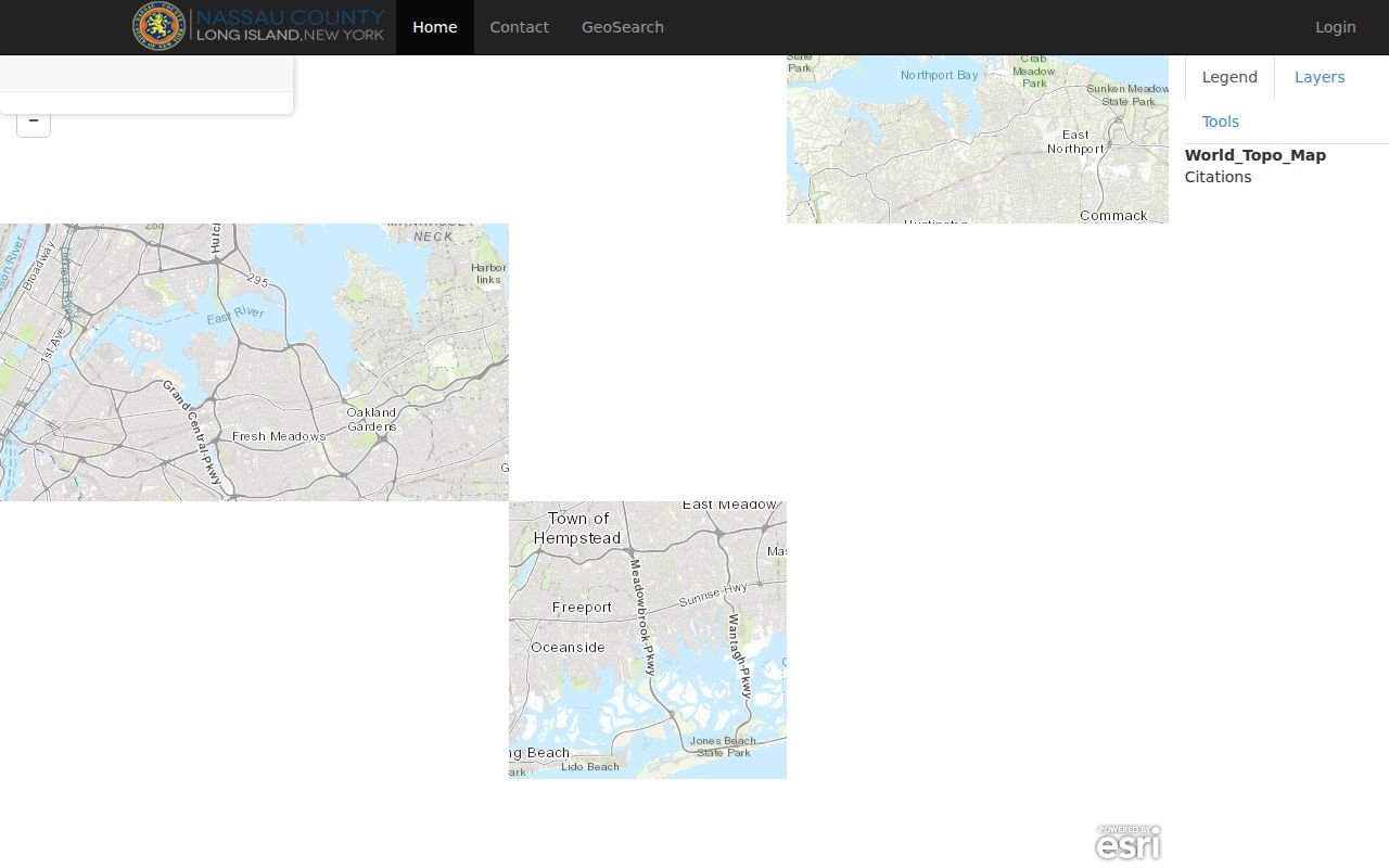
The map is a locating aid. It helps identify the right neighboring parcels, but it does not turn a visual distance into a legal boundary or confirm who is present at an address.
- Find the subject parcel by address or SBL and note its parcel identifier, address, and roll year.
- Click polygons sharing a boundary or facing the same street segment. Record each PARID or parcel key before leaving the map.
- Open each matching LRV detail one at a time. Keep the situs address separate from any mailing field.
- Use the measurement tool only for distance or area context. Confirm a boundary through the tax map, legal description, or recorded deed.
- Use the Town, village, road-jurisdiction, and special-district layers to understand which public-service geography applies to the block.
Hempstead Neighbor Parcel Boundaries
Parcel boundaries are more reliable than screen distance. Nassau's tax-map structure and the legal description in a deed are the continuity anchors when a post-office label, street suffix, or village name differs. The Land Records Viewer links assessment, taxes, exemptions, photographs, districts, comparable sales, and map detail, while the County Clerk's land records identify grantor, grantee, recorded document, and legal description. An owner mailing address may point to a place where notices are sent, not the parcel itself.
The address and SBL fields are visible in the Nassau Land Records Viewer.
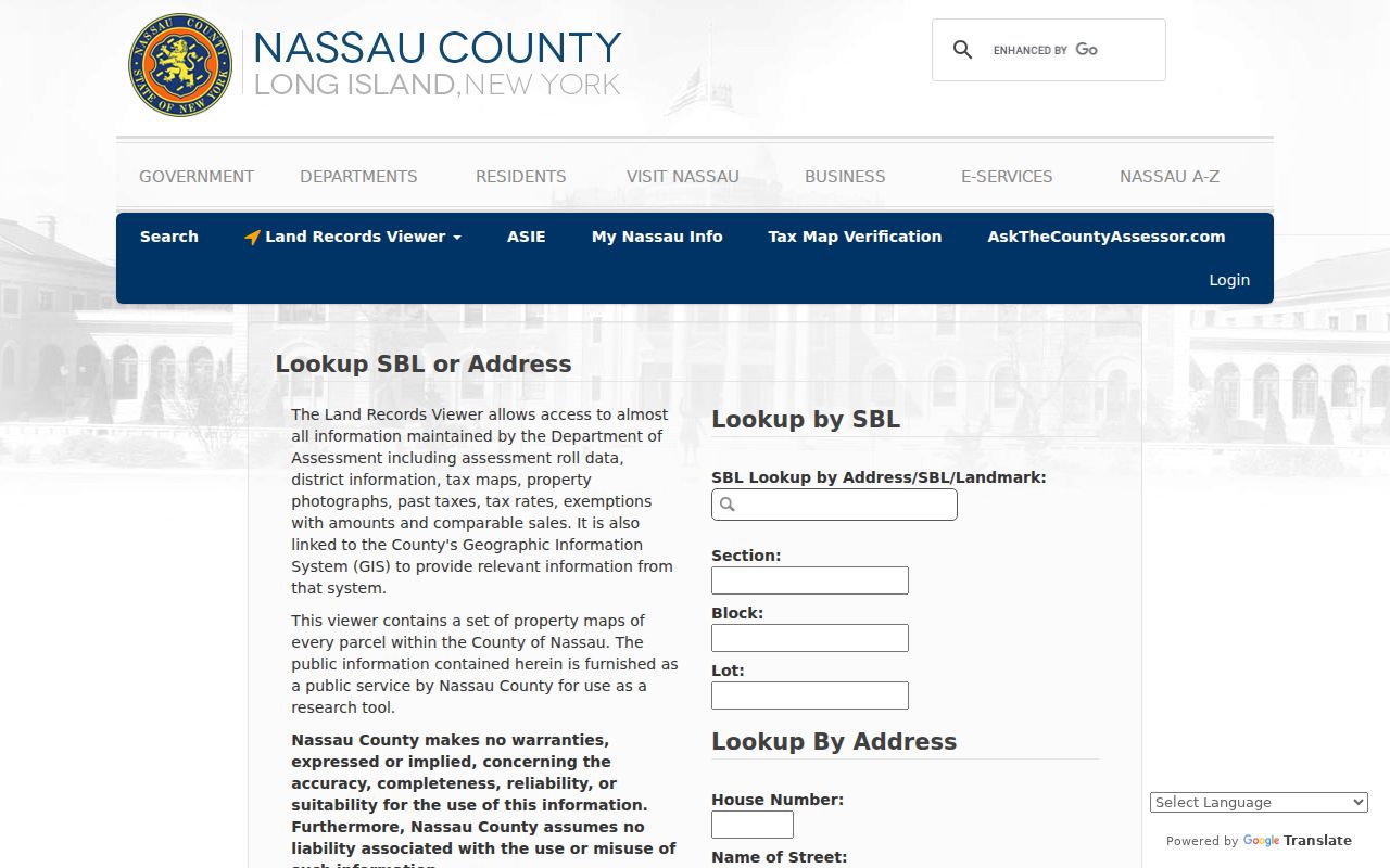
Use a property situs to identify the land and a mailing field only as correspondence information. A homestead exemption, when shown, can be evidence of an owner-occupied tax classification, but it does not identify every neighbor at the address.
Note: A fixed SBL and legal description usually survive address-label changes better than a postal city name or a map pin.
Hempstead Neighbor Voter Limits
The New York voter lookup does not offer a list of a block's neighbors. It asks for county, last name, first name, date of birth, and address information, with ZIP shown in the form. A result concerns an individual registration, poll site, or mail-ballot status. It does not show ballot choices, and it cannot establish that every member of a household is registered or still lives at the address.
The field layout can be reviewed in the state voter registration search.
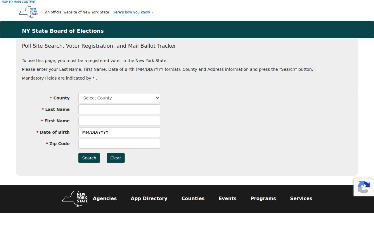
New York registration records withhold driver-license and non-driver ID numbers, Social Security numbers, and facsimile numbers. A full voter-data request requires an elections-purpose statement under Election Law §3-103(5). Do not use separate matches to build an informal block roster or expose a protected address.
Hempstead Neighbor Community Contacts
The community layer is split among incorporated villages, hamlets, civic groups, school districts, libraries, churches, and special districts. Research did not identify an official Town-wide directory of neighborhood associations with member lists. That absence matters: member rosters are generally private unless an organization voluntarily publishes officers or contact information. Start with the location of the actual street, not a broad Hempstead label.
| Community contact path | What it can help identify |
|---|---|
| Town of Hempstead map | Village, hamlet, council district, road jurisdiction, and other local geography. |
| Village clerk or public meeting record | Whether a named civic organization or local proceeding serves that place. |
| Nassau Library System | The library serving a school-district, special area, or village and its shared catalog. |
| Hempstead Public Library | Reference help for directories, newspapers, yearbooks, cemetery material, and neighborhood history. |
The Nassau Library System has 54 autonomous libraries. A search that fails at one branch may belong at a neighboring library serving Uniondale, West Hempstead, Freeport, Valley Stream, East Meadow, Oceanside, Rockville Centre, Merrick, Wantagh, Levittown, Elmont, Franklin Square, or another local service area.
Hempstead Coastal Neighbor Records
Coastal blocks can have an additional address trail. Atlantic Beach, East Atlantic Beach, Lido Beach, Point Lookout, Oceanside, Island Park, Hewlett, and the Five Towns sit among waterways and coastal districts. Since January 24, 2025, structures-in-waterways permits, including bulkhead permits, use the Town's OpenGov route. A permit packet can include a survey, deed, current tax bill, photographs, owner affidavit, construction drawings, and NYSDEC approval.
The Town Online Permit Center describes the address-based application, status, inspection, messaging, and printing functions.
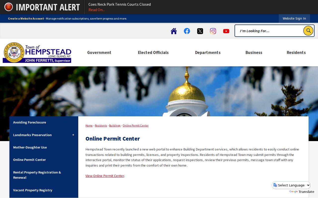
A dated permit may help explain a physical change to a coastal parcel. It does not establish who occupies a nearby address, and the relevant department controls access to older records.
Hempstead Neighbor Tools Compared
Official rolls and commercial neighbor-search products are not interchangeable. An official parcel or deed record identifies its keeper and date, even if it only answers an ownership question. Commercial tools may combine public and purchased data, which can create a lead but can also preserve stale addresses, merge common names, or omit protected information. Verify any important point with the office that made the record.
| Tool category | Best use | Boundary |
|---|---|---|
| Parcel map and assessment roll | Find the lots around an address and the assessed ownership record | Does not identify every person at the parcel |
| Deed and tax map | Confirm a legal description and recorded transfer | May require a separate index, counter visit, or copy request |
| Commercial compilation | Suggest a fact to verify independently | Can be stale, incomplete, or attached to the wrong person |
Hempstead has overlapping Town, Village, hamlet, school-district, postal-city, ZIP, and Nassau SBL labels. A records result should be compared against the right jurisdiction before it is treated as evidence about a block.
Hempstead Neighbor Record Requests
When online data stops short, use the channel that holds the record. The Nassau County Clerk can provide land-record help through its search and counter process. Assessment and tax-map questions go to the assessment side. Town permit or inspection questions go to the relevant department. For non-confidential county agency records, New York Freedom of Information Law requests route through Nassau's e-Services process. A request should identify the address, date range, record type, and known case, parcel, or document number.
The Nassau e-Services page includes the county's FOIL entry point.
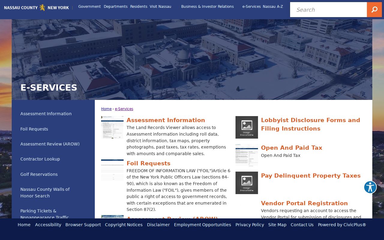
FOIL does not override privacy, sealed-record, or statutory limits. Give the custodian a precise request and accept that a protected record may be withheld or released with redactions.
Hempstead Neighbor Privacy Limits
New York public records are open in layers. A parcel is not a household list, and utility, delivery, and DMV customer information are not public block-search sources. The NYS Address Confidentiality Program protects an eligible participant's actual address through a substitute Albany mailing address and forwarding service. Program participants may also use a confidential voter statement. Do not attempt to piece together a protected address from otherwise public fragments.
Residents can ask the custodian to correct an official error by identifying the specific record and providing appropriate evidence. A correction to a private commercial profile does not alter a deed, assessment entry, or voter record. Personal safety and community curiosity do not justify repeated unwanted contact, threats, intimidation, or exposure of protected information.
Lawful use. Hempstead neighbor research is for personal, lawful property curiosity, reconnecting, and community awareness. Using information to stalk, harass, threaten, or intimidate anyone is prohibited under New York law.